
GravLab: Laboratory of Gravity Field Research And Applications
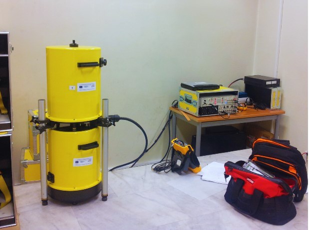
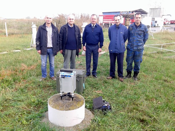
Scientific & Research Areas
Government Gazzete of GravLab foundation
Lorem ipsum dolor sit amet, consectetur adipiscing elit. Ut elit tellus, luctus nec ullamcorper mattis, pulvinar dapibus leo.
Physical Geodesy
& Geodynamics
with special emphasis on modeling, data acquisition and interpretation, theoretical developments, and applications to the Earth’s gravity field at various spatial scales employing heterogeneous altimetry, satellite gradiometry, and terrestrial gravity data.
Determination of local and regional geoid models
through the rigorous combination of heterogeneous data. The main goal is to estimate high-accuracy and high-resolution geoid models with applications to geodesy, oceanography and geophysics.
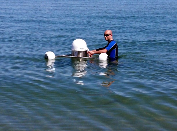
Satellite data exploitation
from past and recent satellite altimetry missions towards gravity field modeling, ocean circulation determination and sea level monitoring.
Physical, Geometric Heights & Potential
Geoid, tide gauge, GNSS, SAR/SARin, levelling height combination (and their time variations) to determine the absolute altimetric bias, coastal processes, sea level rise and the impact of climate change.
Height combination
GNSS, geoid and spirit leveling height combination for height system unification (HSU) and the realization of the IHRF. Contribution of current/past gravity field dedicated satellite missions (CHAMP, GRACE, GOCE, GRACE-FO) as future (GRACE-C, NGGM, MAGIC) to satellite, aerial, land and marine data combination for gravity field modeling, Moho inversion and sea level studies.
Sea level variability
GRACE/ GRACE-FO/ GOCE/ Sentinel1/ 2/ 3 combination for sea surface variability, sea surface heights, and sea surface topography modeling and their spatiotemporal variations.