Generation and strengthening of network differential positioning services through continuously operating reference stations for land and airborne applications – GeoNetGNSS Funding: European Union and National Funds through the RCM OP (KEPA/ANEM) in the frame of the action Innovation Investment Plans. Duration: 07/10/2021-07/10/2023
Analytical and numerical methods for calculating the gravitational signal of known distributions at different scales – Georgia Gavriilidou – HFRI Funding: Hellenic Foundation for Research and Innovation (H.F.R.I) (HFRI) in the frame of the “4th HFRI Call to PhD Candidates». Duration: 13/04/2023 – 14/04/2025.
Geoid and Gravity Field Modelling by GOCE Satellite Gradients and Terrestrial Data – GeoGravGOCE Funding: Hellenic Foundation for Research and Innovation (HFRI/GSRT) within its 1st Call for Research Projects by Researchers and Academic Staff HFRI/Staff. Duration: 23/12/2019-22/08/2022
Modernization of the Hellenic Gravity Network – ModernGravNet Funding: Hellenic Foundation for Research and Innovation (HFRI/GSRT) within its 1st Call for Research Projects by Researchers and Academic Staff HFRI/Staff. Duration: 23/12/2019-22/12/2022
EaRth Observation Tools for the promotion of DigITal Economy – Erodite Funding:H2020 Erasmus+ (Erasmus+) in the frame of the EAC/A02/2019 call EAC/A02/2019. Duration: 15/01/2021-14/01/2024
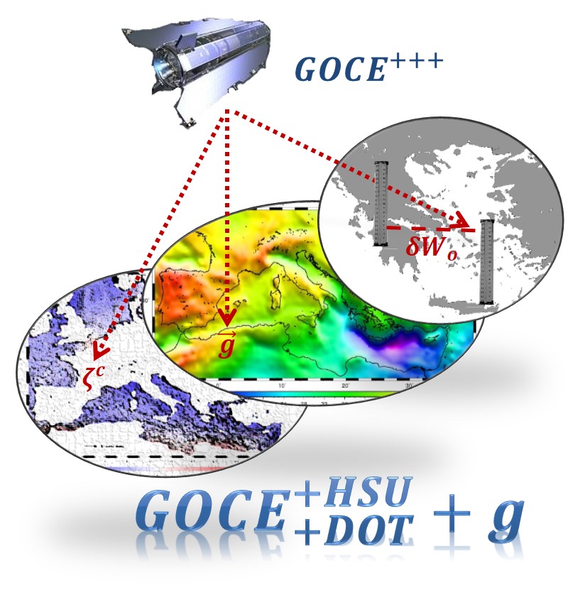
Height System Unification, Dynamic Ocean Topography and gravity field determination with GOCE Global Geopotential Models employing stochastic methods and heterogeneous data sources – GOCE+++ Funding: European Space Agency (ESA) in the frame of the PRODEX project. Duration: 01/02/2016-30/07/2017
External calibration/validation of ESA’s GOCE mission and contribution to DOT and SLA determination through stochastic combination with heterogeneous data – GOCE+++ Funding: European Space Agency (ESA) in the frame of the PRODEX project. Duration: 01/07/2012-30/07/2014
Development of a common intraregional monitoring system for the environmental protection and preservation of the Black Sea – ECO-Satellite Funding: ENPI in the frame of the Black Sea Cross Border Cooperation 2007-2013 BlackSea-cbc. Duration: 10/2011-10/2013
Evaluation of the Hellenic Vertical network in the frame of the European systems and control networks interconnection – Application in the areas of Attiki and Thessaloniki Funding: Operation Program “Education and Lifelong Learning 2007-2013” a href=”http://www.edulll.gr//”>Archimedes ΙΙΙ. Duration: 11/2011-04/2014
Development of an Information System for Natural Risk Management in the Mediterranean – SyNaRMa Funding:INTERREG IIIB ArchiMED. Duration: 07/2006-12/2007
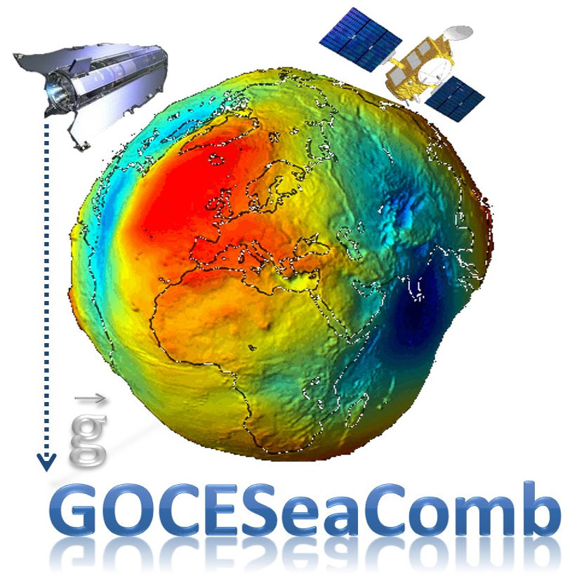
Gravity Field Modeling for the Mediterranean Sea by Combining Satellite and Marine Gravity Data Funding: GSRT in the frame of the bilateral cooperation program between Greece and Italy. Duration: 05/2006-05/2008
Validation, quality assessment and interpretation of current satellite-only Earth gravity models Funding: GSRT – Bilateral cooperation program between Greece and Czech Republic. Duration: 07/2006-07/2008
Modeling and interpretation of the gravity field in local and regional scale combining terrestrial and satellite data Funding: EPEAEK ΙΙ program «PYTHOGORAS ΙΙ – Support to Research Teams in the Universities». Duration: 01/2005-12/2006
Satellite Altimetry Studies in the Black Sea and the Aegean Funding: GSRT – Bilateral cooperation program between Greece and Bulgaria. Duration: 06/2003-06/2005
Design, development and application of an information system to assess the vulnerability to earthquake hazard of the built environment of the prefecture of Thessaloniki Funding: GSRT, EPAN Duration: 2003-2005
GAVDOS: Establishment of a European radar altimeter calibration and sea-level monitoring site for JASON, ENVISAT and Euro-GLOSS – GAVDOS Funding: EU FP5 – ESDP EVR1-CT-2001-40019. Duration: 12/2001-11/2004
Natural disaster management with the use of satellite data and GIS Funding: ELKE, AUTH Duration: 2005-2007